Yazılar

NASA Explores Cutting-Edge Infrared Technology to Enhance Wildfire Tracking and Response

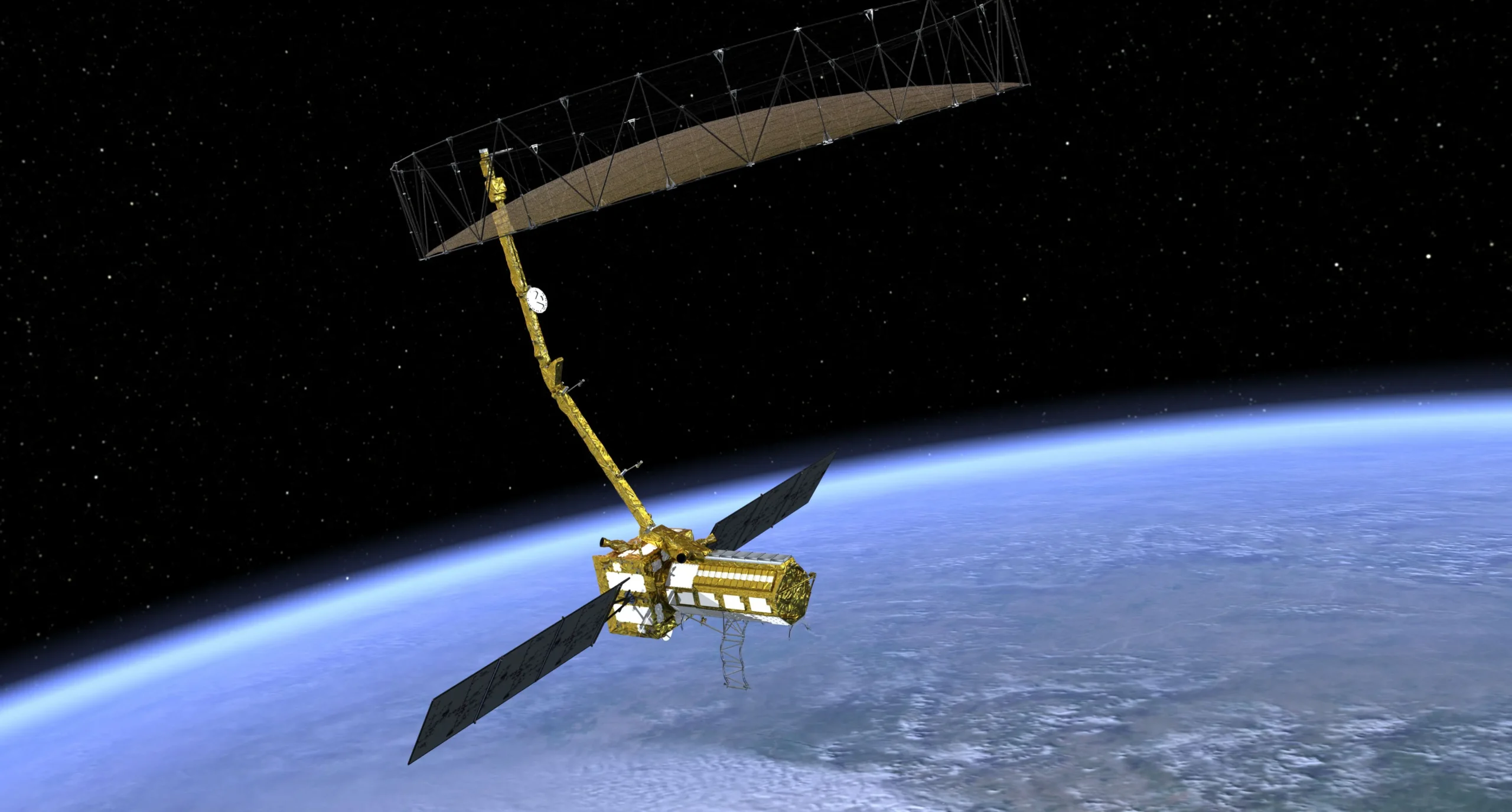
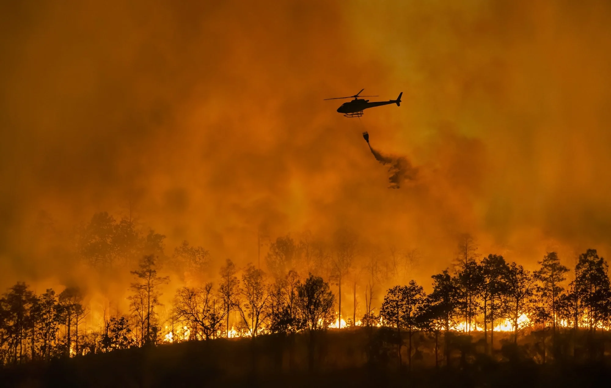
In January, wildfires in California caused widespread devastation, leaving a trail of destruction across communities and ecosystems. In an effort to improve wildfire monitoring and response, NASA has deployed an advanced scientific instrument designed to provide detailed, real-time data on active fires. The Compact Fire Infrared Radiance Spectral Tracker (c-FIRST) was tested aboard NASA’s B200 King Air aircraft over fire-ravaged areas such as Pacific Palisades and Altadena. This technology, originally developed for satellite missions, aims to enhance wildfire understanding and improve strategies for fire mitigation by capturing high-resolution thermal infrared images.

The c-FIRST instrument was created by NASA’s Jet Propulsion Laboratory (JPL) and is managed with support from NASA’s Earth Science Technology Office. Its compact design allows it to be easily deployed on airborne platforms, simulating the capabilities of satellite-based observation systems while providing near-instantaneous data. The technology has the ability to capture an extensive range of fire characteristics, including temperature variations across vast areas. Unlike traditional infrared imaging systems, c-FIRST can detect temperatures exceeding 1,000 degrees Fahrenheit (550 degrees Celsius) with significantly improved clarity, offering a much more detailed picture of fire dynamics.

According to Sarath Gunapala, the principal investigator for c-FIRST at NASA JPL, traditional fire monitoring instruments have limitations that prevent them from fully capturing the full scope of wildfire behavior. In particular, previous technologies have struggled to provide comprehensive data on fire size, frequency, and intensity. This gap in information can hinder timely response and accurate predictions about fire growth and behavior. Gunapala’s team hopes that the enhanced capabilities of c-FIRST will bridge these gaps, providing more precise and timely information for decision-makers and emergency responders.

The potential applications for c-FIRST go beyond immediate fire response. Scientists aim to use the technology to enhance their understanding of wildfire behavior and its impact on ecosystems. By monitoring fires in greater detail, researchers can gain valuable insights into how different fire conditions interact with the environment, potentially leading to better prediction models and more effective fire management strategies. As wildfires continue to pose a growing threat in many parts of the world, innovations like c-FIRST could play a critical role in safeguarding both communities and the environment from the devastating effects of these natural disasters.

NISAR Mission 2025: A Collaborative Endeavor to Monitor Earth’s Dynamic Ecosystems

NASA and ISRO Unite for the Groundbreaking NISAR Mission to Revolutionize Earth Observation

NASA and ISRO are embarking on a groundbreaking partnership with the NISAR Mission, poised to transform our understanding of Earth’s ecosystems and landscapes. This initiative, which stands for NASA-ISRO Synthetic Aperture Radar, aims to deliver crucial data related to biomass, sea level fluctuations, natural disasters, and groundwater levels. With the satellite set to orbit the Earth, it will utilize advanced radar technology to monitor changes in the planet’s surface every 12 days. Scheduled to operate for a minimum of three years, this mission showcases the combined strengths of both space agencies in the pursuit of scientific knowledge and environmental stewardship.

The collaboration between NASA and ISRO is a significant milestone in international space exploration. Each agency contributes its unique expertise to the mission; NASA is responsible for the L-band radar, which is capable of penetrating dense vegetation and ice, enabling detailed observations of these challenging terrains. Meanwhile, ISRO provides the spacecraft, S-band radar, and launch vehicle, ensuring the successful deployment of the satellite. The NISAR project was initiated in response to a 2007 report highlighting the urgent need for more precise data on Earth’s land and cryosphere, leading to the formal launch of this joint mission by NASA Administrator Charles Bolden and ISRO Chairman K. Radhakrishnan.

What sets NISAR apart from other Earth observation missions is its exceptional ability to detect minute changes on the planet’s surface, with precision down to the centimeter level. This capability is made possible by the advanced radar technology that operates effectively in all weather conditions, both day and night, providing consistent and reliable data collection. The mission will facilitate tracking a wide range of geological and environmental phenomena, including glacier movements, seismic activity, and volcanic eruptions. The significance of this data is further amplified by the commitment to make it publicly accessible, empowering researchers and scientists around the globe to leverage this wealth of information for their own studies.

As the NISAR Mission progresses, it embodies the spirit of collaboration that is essential for addressing global challenges related to climate change and environmental monitoring. By combining the resources and expertise of two leading space agencies, the project not only aims to enhance our understanding of Earth’s systems but also fosters a culture of shared scientific inquiry and cooperation. The anticipated launch of NISAR signifies a new era in Earth observation, one where collaborative efforts can lead to groundbreaking advancements in our ability to monitor and respond to the dynamic changes occurring on our planet.