Yazılar

Ancient Farallon Slab Tugs at Midwest Crust, Triggering Regional Thinning

Ancient Slab Beneath U.S. Heartland Linked to Crustal Thinning Across the Region

A massive underground structure deep beneath the central United States is quietly reshaping the continent from below. Scientists have discovered that a buried remnant of ancient crust is dragging surface materials downward, drawing rock from a wide area into a funnel-like zone beneath the Midwest. This movement is believed to be causing parts of Earth’s crust in the region to thin significantly—a phenomenon that surprisingly stretches beyond the immediate area affected.

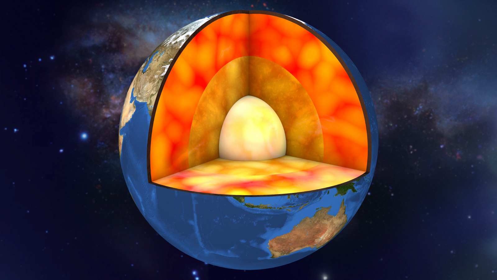
At the heart of the discovery is the Farallon slab, a long-subducted tectonic plate that now rests roughly 660 kilometers below the surface. Published in Nature Geoscience, the new study connects this ancient remnant to what geologists call “cratonic thinning.” Cratons are some of the oldest and most stable parts of Earth’s crust, typically untouched by tectonic shifts. But the presence of the Farallon slab seems to be disturbing this stability, pulling at the base of the continent and causing unexpected changes to the deep structure of North America.

The research was led by Junlin Hua, who conducted the seismic mapping as a postdoctoral researcher at The University of Texas at Austin. Now a professor in China, Hua described the widespread crustal thinning as an eye-opening find. According to him, the study presents a novel explanation for long-observed changes beneath the region. It’s a departure from conventional thinking, and the research team believes it provides a clearer view of how deep-Earth processes can influence surface geology over vast distances.

To explore these hidden movements, scientists relied on a powerful seismic imaging technique called full-waveform inversion. This method allowed researchers to capture detailed 3D images of Earth’s interior, offering an unprecedented look at the interaction between the lower mantle and the overlying lithosphere. Thorsten Becker, chair of geophysics at UT Austin, noted that the imaging revealed a distinctive “dripping” pattern in the lithosphere—only present when the Farallon slab was included in computer models. When the slab was removed from simulations, the phenomenon vanished, reinforcing its role in reshaping the continent from below.

Giant Ancient Blobs in Earth’s Mantle Could Be Over a Billion Years Old

Massive continent-sized structures buried deep within Earth’s mantle may be more than a billion years old, shedding new light on the planet’s internal dynamics. Known as large low-seismic-velocity provinces (LLSVPs), these formations are distinct from the surrounding mantle due to their unique physical and chemical properties. Located at the boundary between the mantle and the outer core, roughly 3,000 kilometers beneath the surface, these enigmatic structures have intrigued scientists for decades. Their ability to slow down seismic waves suggests they are compositionally different, possibly containing denser or hotter materials than the rest of the mantle.

A recent study published in Nature analyzed seismic data from over 100 significant earthquakes to investigate these deep-mantle structures. As reported by Space.com, Utrecht University seismologist Arwen Deuss explained that while it was well known that seismic waves slow down in these regions, an unexpected finding was that the waves also lose less energy than anticipated. This suggests that temperature alone cannot account for the properties of LLSVPs, indicating that other factors—such as mineral composition or internal structure—play a role in their formation and persistence over geological time.

One of the key insights from the study is the role of crystal size in influencing how seismic waves behave within LLSVPs. Computer simulations suggest that seismic energy is affected by the grain boundaries between crystals, with smaller crystals leading to greater energy loss and larger crystals allowing waves to pass with less resistance. Deuss noted that while the surrounding mantle consists of fragmented tectonic plates that have broken down over time, the LLSVPs appear to have remained relatively undisturbed, preserving their larger crystal structures for over a billion years.

These findings offer a new perspective on the deep interior of Earth and its geological evolution. Understanding LLSVPs is crucial for unraveling the processes that shape mantle convection, plate tectonics, and even volcanic activity at the surface. Further research into these massive formations could help explain the role they have played in Earth’s history, including their potential connection to supercontinent cycles and deep-mantle plumes that drive hotspot volcanism.

Gold-Sulfur Complex Identified as Key Factor in Gold Deposit Formation

Gold-Sulfur Complex Found to Play Crucial Role in Gold Deposit Formation

An international team of scientists has made a groundbreaking discovery that could transform our understanding of gold deposit formation on Earth. Led by Adam Simon, Professor of Earth and Environmental Sciences at the University of Michigan, the study uncovers the crucial role of a gold-sulfur complex in transporting gold from deep within the Earth’s mantle to the surface. The findings, published in Proceedings of the National Academy of Sciences (2024), offer new insights into the conditions under which gold is mobilized and concentrated in Earth’s crust.

The Gold-Trisulfur Complex: A Key to Gold’s Journey

According to the study, gold is transported in the Earth’s mantle in a complex form known as the gold-trisulfur complex. This complex forms under specific temperature and pressure conditions, typically located 30 to 50 miles beneath active volcanic zones. For years, the existence of such a complex was debated, but this research has solidified its role in enriching magma with gold as it rises towards the surface. The discovery also helps explain why certain areas, particularly subduction zones, are particularly rich in gold deposits.

Subduction Zones and Volcanic Activity as Gold Sources

The researchers specifically highlight subduction zones, such as those around the Pacific Ring of Fire, as key regions for gold formation. These areas, known for their high volcanic activity, provide an ideal geological environment for gold to be carried from the mantle to surface deposits through volcanic eruptions. Locations such as New Zealand, Japan, Alaska, and Chile, which lie within these active volcanic regions, are some of the richest in gold, thanks to the unique geological processes at play in subduction zones. The study links volcanic eruptions to the mechanisms that concentrate gold in these zones, shedding light on how gold deposits form in these high-activity areas.

Implications for Gold Mining and Exploration

This new understanding of how gold is transported from deep within the Earth to surface deposits opens up new avenues for gold exploration and mining. By targeting subduction zones with the right conditions for the formation of gold-sulfur complexes, geologists and mining companies can potentially uncover new gold reserves in regions that were previously unexplored. This discovery not only improves our knowledge of the Earth’s processes but also enhances the accuracy and efficiency of gold prospecting in volcanic regions around the world.