NASA’s SWOT Satellite Uncovers Outsized Role of Tiny Ocean Currents in Shaping Marine Ecosystems
NASA’s SWOT Satellite Sheds Light on Hidden Ocean Currents That Influence Global Climate and Marine Life
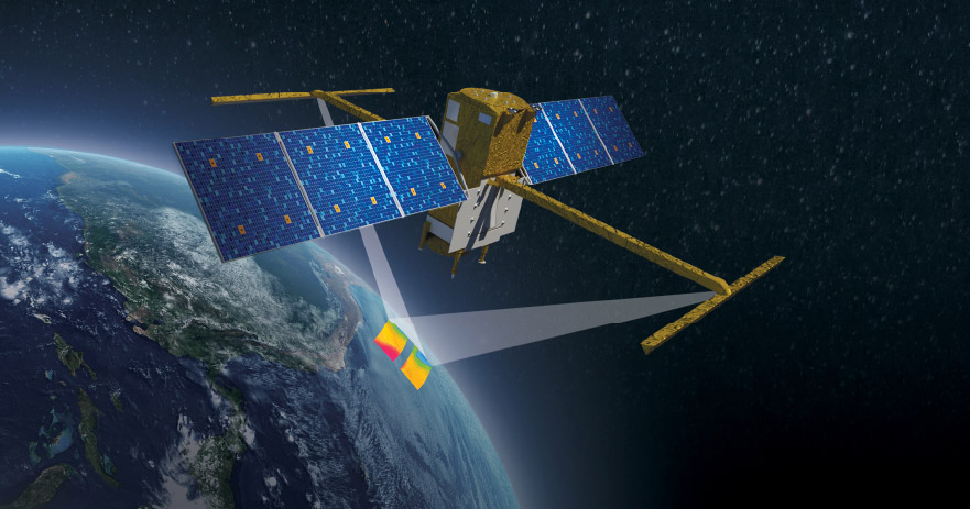
The smallest of ocean waves and currents, long overlooked by traditional observation methods, are now emerging as key players in shaping the Earth’s climate and marine ecosystems. Thanks to high-resolution imaging from NASA’s SWOT (Surface Water and Ocean Topography) satellite—developed in partnership with the French space agency CNES—scientists are getting an unprecedented view of submesoscale ocean activity. These features, spanning just a mile or so, are instrumental in transferring carbon, heat, and nutrients throughout ocean layers, highlighting the hidden complexity and power of the world’s marine systems.
In recent studies led by NASA’s Jet Propulsion Laboratory (JPL), SWOT has demonstrated its ability to map vertical ocean currents in detail. Previously, such currents fell into a frustrating observational blind spot: too small for satellites to detect, yet too vast for direct ship-based instruments to monitor. With SWOT, researchers can now see how these vertical circulations move water—and the energy and materials within it—from deep ocean layers to the surface, impacting everything from temperature regulation to nutrient cycles. For instance, the satellite tracked a swirling submesoscale eddy in the Kuroshio Current and detected vertical movements of up to 14 meters per day.
These vertical exchanges play a crucial role in ecosystem health and climate processes. “Vertical currents can bring heat from deep layers to the surface, warming the atmosphere,” said oceanographer Matthew Archer. In another case, SWOT identified an internal solitary wave in the Andaman Sea that carried twice the energy of a typical internal tide. Using sea surface height data, the satellite helps researchers infer not only the slope of waves but also the fluid pressure, which ultimately reveals the strength and influence of oceanic motion. “Force is the fundamental quantity driving fluid motion,” added coauthor Jinbo Wang from Texas A&M University.
Beyond observation, the SWOT mission is reshaping the way scientists model the ocean. Lee Fu, a senior researcher at JPL, emphasized that ocean simulation tools must now adapt to account for these newly visible small-scale processes. NASA has already begun integrating SWOT data into its ECCO ocean model to improve accuracy in climate forecasting. As SWOT continues to provide continuous, detailed measurements of ocean topography, it promises to deepen our understanding of how fine-scale ocean mechanics influence broader environmental changes and climate dynamics.