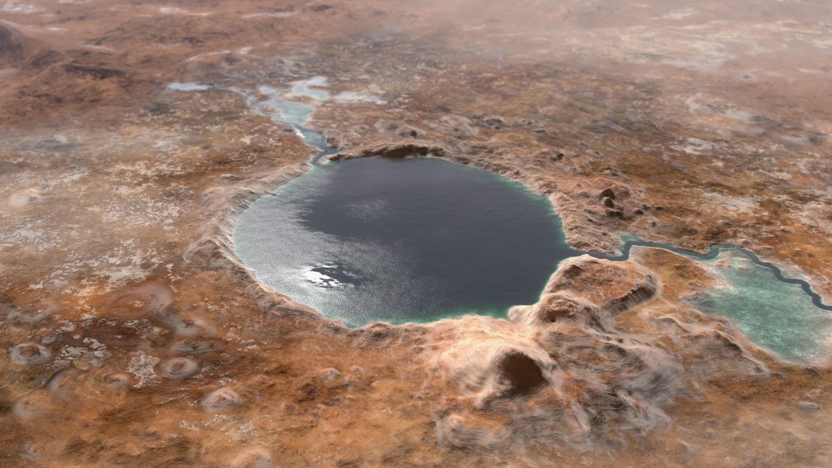
Perseverance Rover Investigates Martian Serpentine Lake for Signs of Ancient Water

NASA’s Perseverance rover has turned its attention to a striking rock formation on Mars known as Serpentine Lake. Characterized by its pale green hue and dark speckles, this rock has become a focal point for scientists seeking to uncover clues about the planet’s geological past. Using the SHERLOC WATSON camera, Perseverance has captured high-resolution images to analyze surface textures and detect organic materials. The rover’s current exploration along the crater rim aims to investigate ancient rock formations, particularly those that might have formed in water-rich environments, potentially shedding light on Mars’ past habitability.

Preliminary analysis of Serpentine Lake has revealed an abundance of serpentine minerals, which typically develop in the presence of water. The rock’s texture has been likened to a cookies-and-cream pattern, hinting at a complex history of geological processes. This discovery comes after the identification of another significant rock, Silver Mountain, which was found to contain pyroxene—a mineral linked to igneous activity. Such findings are crucial, as they could represent some of the oldest rocks ever studied on Mars, providing valuable insight into the planet’s evolution.

However, not all sampling efforts have gone smoothly. Attempts to extract a core sample from a different site, Cat Arm Reservoir, were unsuccessful due to the rock’s fragile nature. Instead of remaining intact within the sample tube, it crumbled into fine particles, posing a challenge for Perseverance’s collection methods. This isn’t the first time such an issue has arisen, prompting mission teams to refine their approach to ensure that valuable samples can still be gathered.

Despite these obstacles, the Perseverance team remains committed to its mission. Every analysis and sample collected brings scientists closer to understanding Mars’ ancient environment and its potential to have once supported life. As the rover continues its journey across the crater rim, further discoveries are expected, deepening our knowledge of the Red Planet’s history and the role that water may have played in shaping its landscape.

Solar Sail Satellites May Revolutionize Space Weather Forecasting and Early Alerts

Satellites equipped with solar sails could significantly improve space weather forecasting, offering early warnings for events like geomagnetic storms that can damage critical infrastructure on Earth. Solar sails, which use sunlight for propulsion, are being explored as a more cost-effective and efficient alternative to traditional propulsion systems. Researchers believe that these sails could enhance the monitoring of solar activity, providing quicker and more accurate alerts for space weather events that affect power grids, satellite operations, GPS systems, and even air traffic. Unlike current space weather forecasting systems, which rely on fixed observation points, solar sail technology could offer more flexible positioning for improved data collection.

The potential for solar sail-equipped satellites to revolutionize space weather forecasting lies in their ability to travel beyond traditional locations in space. As reported by Space.com, solar sails could allow spacecraft to venture past the Earth-sun Lagrange Point One (L1), a stable region approximately 1.5 million kilometers from Earth where most solar observation satellites are currently stationed. The National Oceanic and Atmospheric Administration’s (NOAA) Office of Space Weather Observations, which manages these satellite systems, recognizes the advantages of solar sail technology in expanding the range and flexibility of space weather monitoring.

Irfan Azeem, Division Chief at NOAA’s Research to Operations and Project Planning Division, highlighted the key benefit of solar sails in improving space weather forecasts. Solar sails can enable satellites to travel upstream of L1, allowing them to gather data more efficiently than traditional chemical propulsion systems. This improvement in satellite movement would result in faster retrieval of data and the potential to increase the lead time for geomagnetic storm alerts by up to 50 percent, giving industries and agencies more time to prepare for potential disruptions.

As space weather events become an increasing concern due to their potential impact on modern technology, the development of solar sail technology for satellites represents a significant leap forward in our ability to predict and respond to these phenomena. By providing more precise and timely alerts, solar sail-powered satellites could help mitigate risks and safeguard Earth’s technological infrastructure from the damaging effects of space weather.

Giant Ancient Blobs in Earth’s Mantle Could Be Over a Billion Years Old

Massive continent-sized structures buried deep within Earth’s mantle may be more than a billion years old, shedding new light on the planet’s internal dynamics. Known as large low-seismic-velocity provinces (LLSVPs), these formations are distinct from the surrounding mantle due to their unique physical and chemical properties. Located at the boundary between the mantle and the outer core, roughly 3,000 kilometers beneath the surface, these enigmatic structures have intrigued scientists for decades. Their ability to slow down seismic waves suggests they are compositionally different, possibly containing denser or hotter materials than the rest of the mantle.

A recent study published in Nature analyzed seismic data from over 100 significant earthquakes to investigate these deep-mantle structures. As reported by Space.com, Utrecht University seismologist Arwen Deuss explained that while it was well known that seismic waves slow down in these regions, an unexpected finding was that the waves also lose less energy than anticipated. This suggests that temperature alone cannot account for the properties of LLSVPs, indicating that other factors—such as mineral composition or internal structure—play a role in their formation and persistence over geological time.

One of the key insights from the study is the role of crystal size in influencing how seismic waves behave within LLSVPs. Computer simulations suggest that seismic energy is affected by the grain boundaries between crystals, with smaller crystals leading to greater energy loss and larger crystals allowing waves to pass with less resistance. Deuss noted that while the surrounding mantle consists of fragmented tectonic plates that have broken down over time, the LLSVPs appear to have remained relatively undisturbed, preserving their larger crystal structures for over a billion years.

These findings offer a new perspective on the deep interior of Earth and its geological evolution. Understanding LLSVPs is crucial for unraveling the processes that shape mantle convection, plate tectonics, and even volcanic activity at the surface. Further research into these massive formations could help explain the role they have played in Earth’s history, including their potential connection to supercontinent cycles and deep-mantle plumes that drive hotspot volcanism.