West Coast Braces for Severe Bomb Cyclone Bringing Intense Rain and Winds
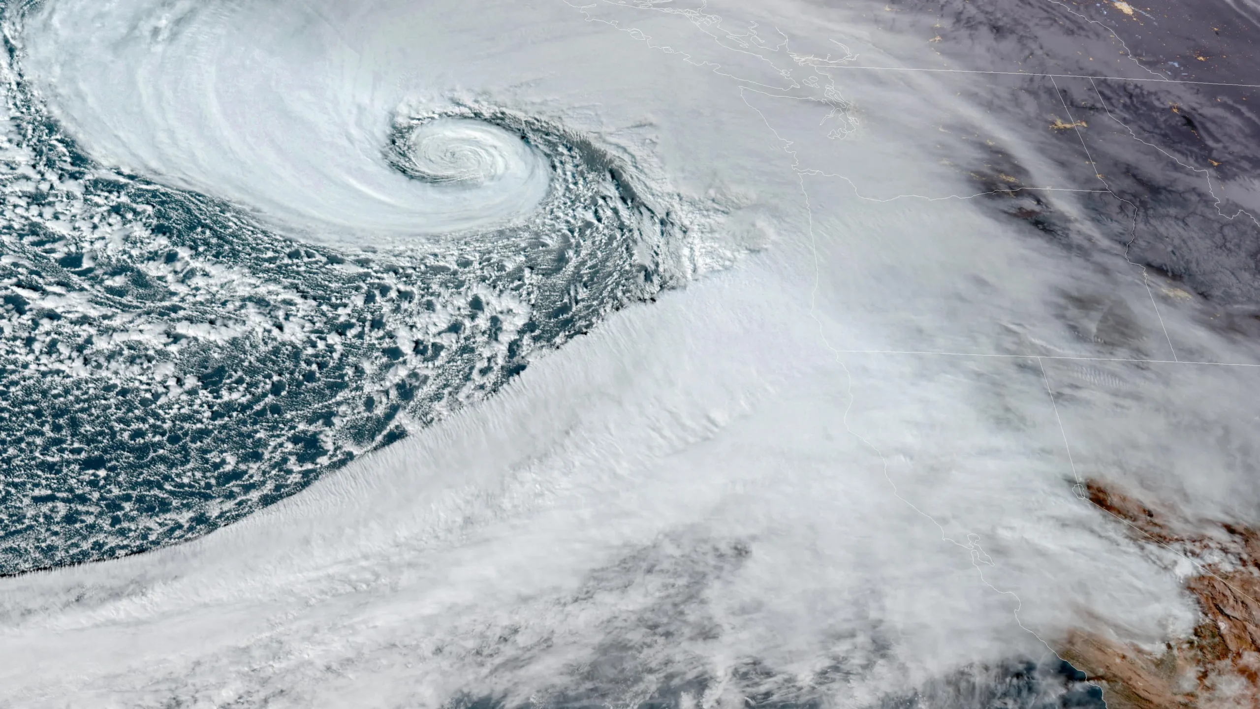
A formidable storm system, set to evolve into a “bomb cyclone,” is making its way toward Northern California and southern Oregon. The event is anticipated to occur from Tuesday, November 19 to Thursday, November 21, bringing with it dangerous weather conditions. Meteorologists are warning residents to brace for heavy rainfall, high winds, and significant snowfall in the mountains. These extreme weather elements may lead to flash flooding, power outages, and hazardous driving conditions throughout the region.
The storm is expected to undergo “bombogenesis,” a rapid intensification process where the storm’s pressure drops dramatically. Weather experts forecast a decline in atmospheric pressure from over 1,000 millibars on Monday evening to below 950 millibars by Tuesday night. This sharp pressure drop is a clear sign that the storm is rapidly strengthening, a phenomenon that has been observed and verified by the National Oceanic and Atmospheric Administration (NOAA).
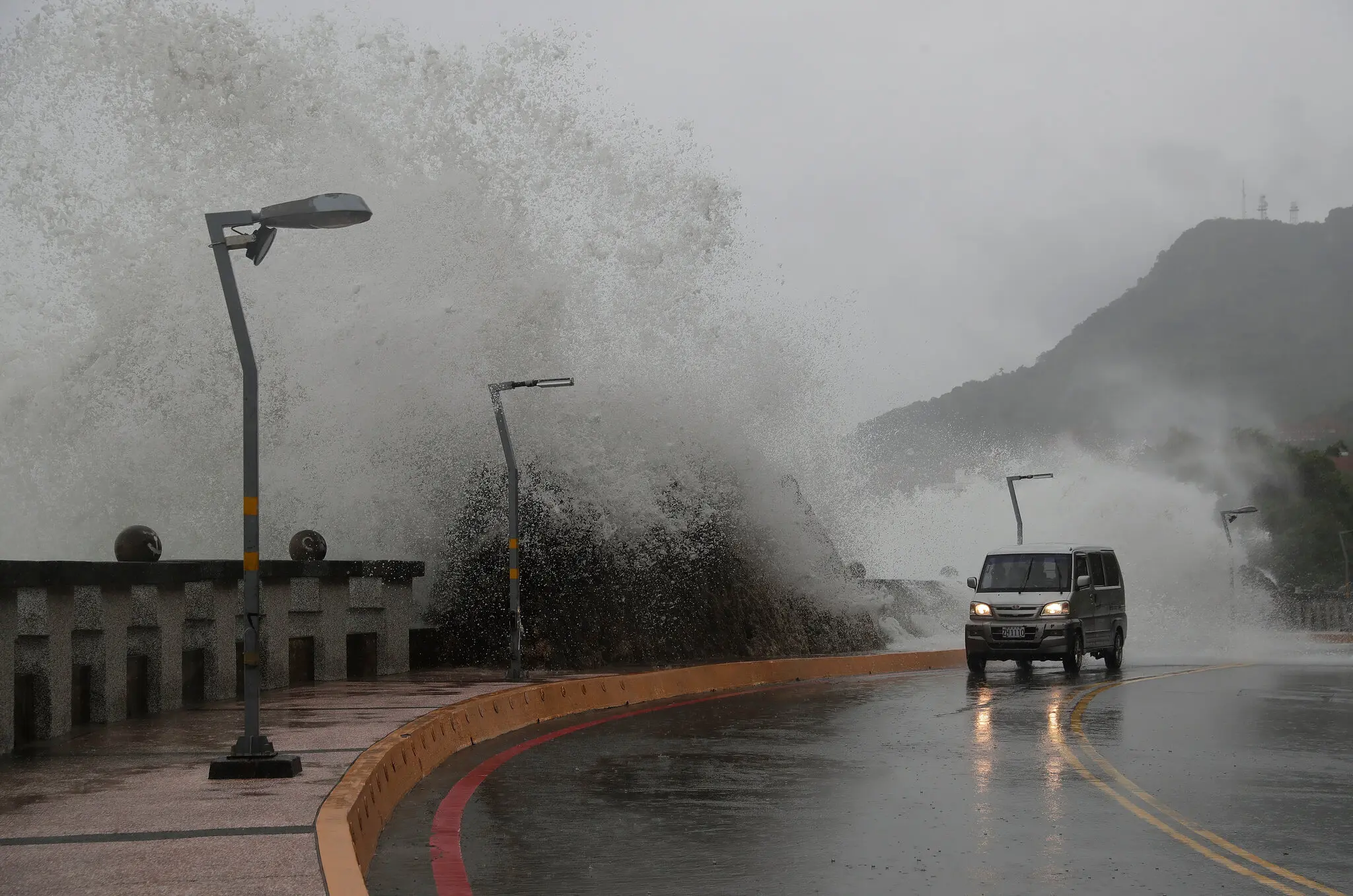
The severe impacts of this bomb cyclone are expected to affect a wide stretch of the West Coast. In particular, areas between the San Francisco Bay Area and Eureka, California, are at high risk of extreme weather, with gusty winds reaching up to 70 mph. Additionally, rainfall totals could accumulate between 2 and 4 inches per day. These conditions are expected to cause flooding, hazardous roadways, and potentially life-threatening situations, especially in low-lying areas prone to rapid runoff.
In the higher elevations of the region, particularly areas above 3,500 feet, snowfall is expected to pile up quickly. Some areas could see up to 2 feet of snow, adding significant challenges to the already difficult weather. Central Oregon to Salinas, California, is also at risk for major impacts from this powerful storm system. Local authorities and residents are urged to prepare for the worst as this bomb cyclone takes shape over the coming days.


