
The ocean’s surface is only the beginning of its story. Conditions can change with depth, and a measurement taken at the surface cannot describe the entire water column.
Argo addresses that problem with autonomous instruments that spend most of their lives below the waves. They drift, change depth, measure the surrounding water, and briefly return to the surface to send their observations.
The result is a repeating cycle of ocean profiles rather than a collection of isolated surface readings.
Follow a typical profiling cycle
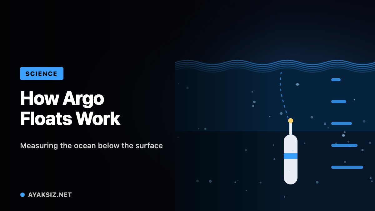
The Argo program describes a standard mission lasting about ten days. A float spends much of that time drifting around 1,000 meters below the surface.
Near the end of the cycle, it descends to roughly 2,000 meters and then rises while taking measurements. At the surface, it obtains a position and communicates with satellites before beginning another cycle.
These figures describe a standard mission, rather than every possible float configuration. Argo instruments and operating strategies can differ.
The timing reveals an important feature of the system: a float is not streaming a continuous live view from every depth. It collects observations according to a programmed sequence, then transmits the results.
When examining a profile, its time and location are therefore essential parts of the measurement.
Change depth by changing buoyancy
An Argo float does not need to swim like a conventional underwater vehicle.
Woods Hole Oceanographic Institution describes a system that moves oil between an internal reservoir and an external bladder. Expanding the bladder increases the float’s volume without increasing its mass, reducing its overall density and helping it rise. Reversing the process allows it to sink.
Batteries power the pump, sensors, controller, and communication equipment. The finite energy supply is a major constraint on operational life.
This is a compact engineering solution to a demanding scientific task. The instrument must repeat a useful measurement routine while conserving enough energy to continue operating far from routine maintenance.
The design illustrates why autonomy involves both decision-making and careful control of physical resources.
Measure a vertical structure
A typical float measures conductivity, temperature, and pressure. Salinity is calculated from these quantities, while pressure helps establish the measurement’s position in the water column.
A profile records how the measured conditions change as the float rises. Comparing only the shallowest reading would discard much of what makes the observation useful.
For example, two locations could have similar surface temperatures but different conditions below. A vertical profile allows researchers to examine that structure rather than assuming the surface represents the whole depth range.
NASA identifies Argo as a major component of the ocean-observing system and provides access to temperature and salinity datasets derived from its observations.
Read the network as a scientific system
An individual profile is valuable, but it is not a complete description of an ocean basin. The broader value comes from combining observations across locations and through time.
A sensible reading of an Argo-based result asks which period, region, depth range, and data product were used. A map assembled from many measurements answers a different question from a single float’s most recent profile.
Argo makes the interior ocean more observable through a repeated, shared measurement process. Its achievement is not one dramatic photograph, but the steady accumulation of information from places that are difficult to visit.