
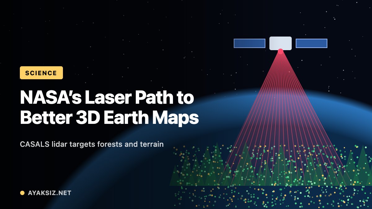
NASA has reported progress on CASALS, an experimental laser instrument designed to collect more continuous three-dimensional measurements of forests and terrain.
In an October 21 update, the agency described technology that directs laser pulses using changes in wavelength, reducing the need for moving mirrors. The approach could help fill gaps between the narrow measurement tracks produced by existing space-based laser instruments.
Airborne testing precedes space development
An airborne prototype collected data during flights in November 2024. NASA reports that it achieved approximately 22-centimeter horizontal resolution from an altitude of around five kilometers.
The instrument is still being developed for possible future use in space. Further work includes increasing the width of the area it scans and adding onboard data processing. The team is targeting additional airborne testing through the ASCENT campaign in summer 2027.
Why forest measurements matter
NASA’s existing GEDI mission illustrates the scientific questions behind detailed forest observations. Its research examines how deforestation affects atmospheric carbon dioxide, how much carbon forests may absorb in the future and how habitat degradation influences biodiversity.
That wider research context helps explain the interest in instruments that can provide more complete measurements of vegetation and the ground beneath it. Better coverage could offer researchers additional evidence when studying changes across large landscapes, although CASALS’ eventual capabilities in orbit remain to be demonstrated.
Testing different ways to measure Earth
ASCENT is part of NASA’s broader planning for airborne studies of surface topography and vegetation. The program aims to collect radar, lidar and stereo-imaging data over different types of terrain to support science and evaluate potential space-based observations.
Its planning includes campaigns on the United States’ East and West coasts and in Costa Rica. CASALS appears among the instruments being considered, alongside other systems for measuring land surfaces and three-dimensional structure.
Comparing these observations is intended to support the development of future Earth-observation capabilities. The upcoming research phase will help establish how emerging instruments can contribute to that effort.